Lovoya, Norway/400
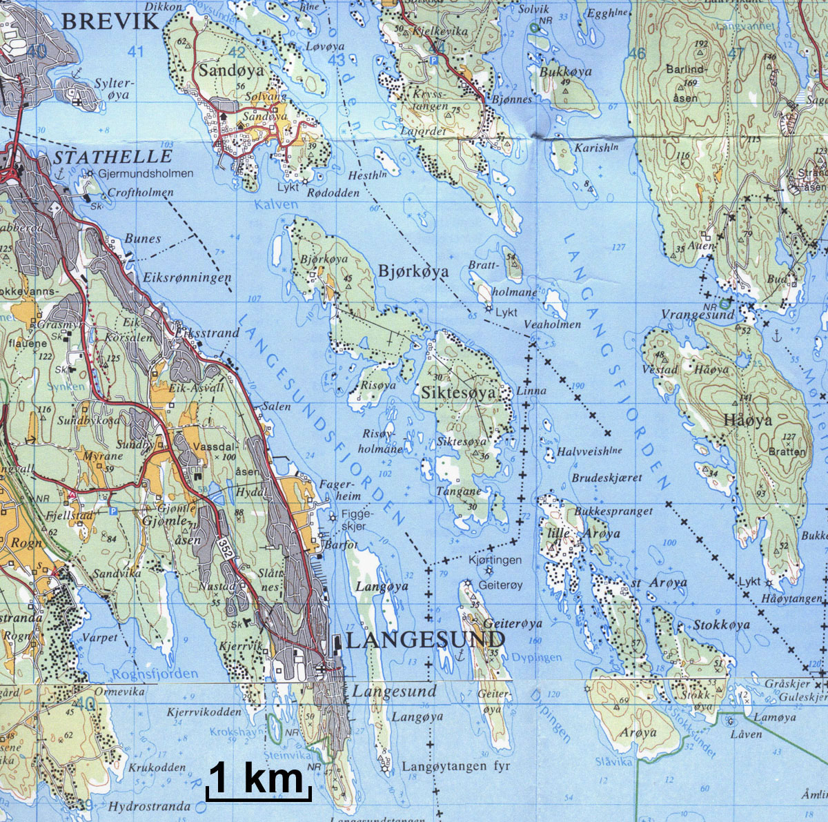
Previous | Home | NextThis is topographical map gives an accurate rendition of key geographical features in the Langesundsfjord area. Some rough mismatching (which may be noticed by careful inspection) occurs because this is a composite produced by stitching together flat projections (of a spherical surface). This map illustrates the complexity of the the myriad of many islands, all of which are usually usually suffixed with "øya," the Norwegian word for island. The fjord is named for Langesund, the town on the southern peninsula. See next map for labels.
